United States Weather Radar by City
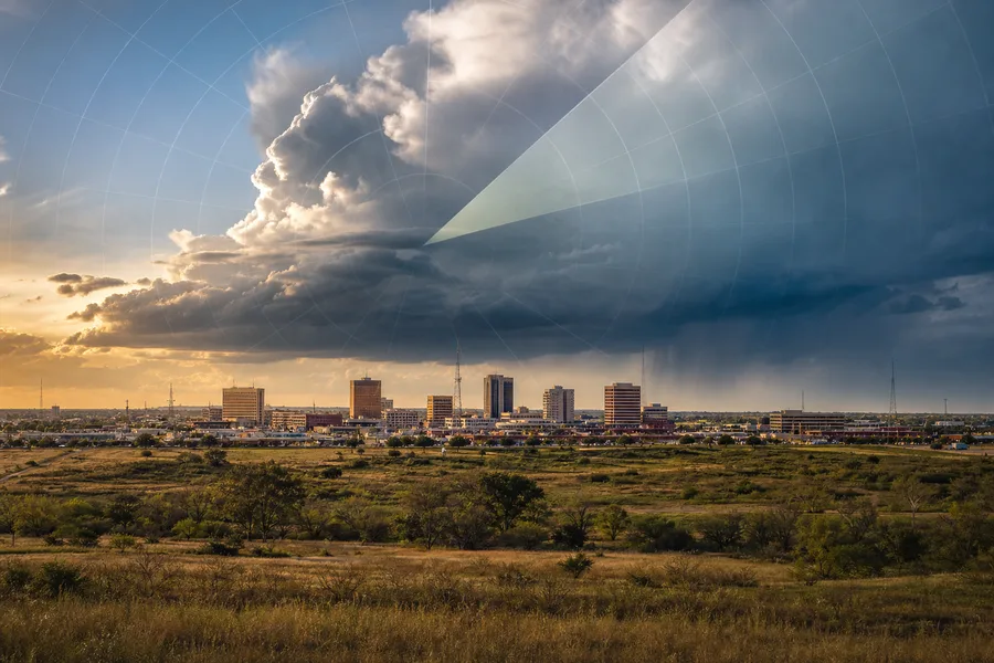
Abilene, Texas
United States

Akron, Ohio
United States
Alabama, Alabama
United States

Albany, Georgia
United States

Albany, New York
United States
Albuquerque, New Mexico
United States

Amarillo, Texas
United States

Anderson, Indiana
United States
Anderson, South Carolina
United States

Ann Arbor, Michigan
United States

Appleton, Wisconsin
United States
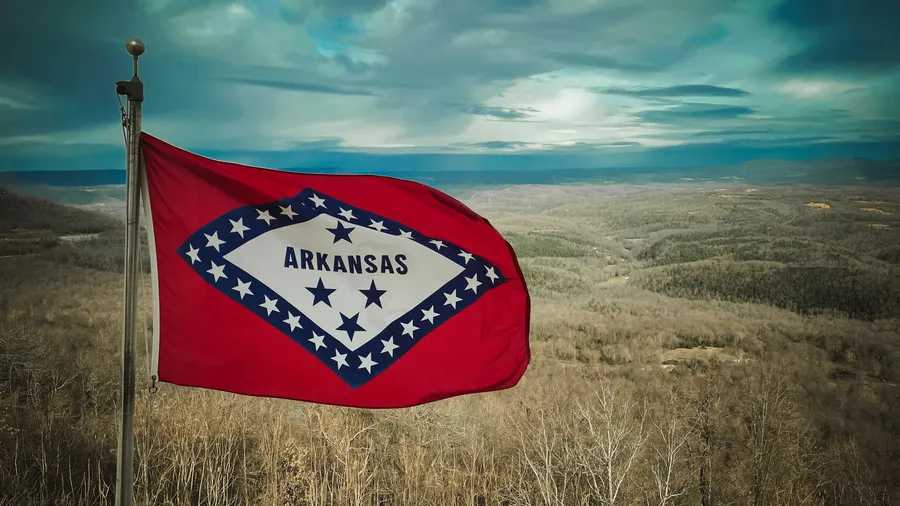
Arkansas, Arkansas
United States

Arlington, Texas
United States

Arlington, Virginia
United States
Asheville, North Carolina
United States

Atlanta, Georgia
United States

Auburn, Alabama
United States
Augusta, Georgia
United States

Augusta, Maine
United States

Austin, Texas
United States

Baton Rouge, Louisiana
United States
Battle Creek, Michigan
United States
Bay City, Michigan
United States
Bay City, Texas
United States

Baytown, Texas
United States

Beaumont, Texas
United States

Billings, Montana
United States
Biloxi, Mississippi
United States
Birmingham, Alabama
United States

Bismarck, North Dakota
United States

Bloomington, Illinois
United States
Bloomington, Indiana
United States

Bloomington, Minnesota
United States

Boca Raton, Florida
United States

Boise, Idaho
United States

Bradenton, Florida
United States
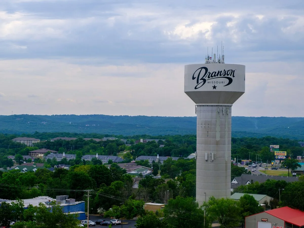
Branson, Missouri
United States

Brownsville, Texas
United States
Brunswick, Georgia
United States

Buffalo, New York
United States
California, California
United States

Canton, Ohio
United States

Cape Coral, Florida
United States
Champaign, Illinois
United States

Charleston, South Carolina
United States

Charlotte, North Carolina
United States

Chattanooga, Tennessee
United States

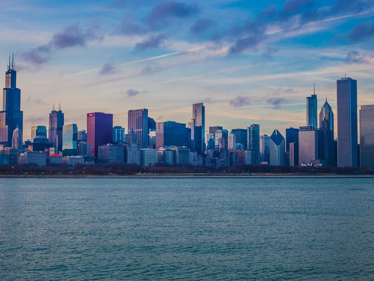
Chicago, Illinois
United States

Cincinnati, Ohio
United States

Cleveland, Ohio
United States

Colorado, Colorado
United States

Colorado Springs, Colorado
United States
Columbia, Missouri
United States

Columbus, Ohio
United States

Columbus, Georgia
United States
Cookeville, Tennessee
United States
Corpus Christi, Texas
United States

Cullman, Alabama
United States

Dallas, Texas
United States

Dayton, Ohio
United States
Daytona Beach, Florida
United States

Denver, Colorado
United States
Des Moines, Iowa
United States

Destin, Florida
United States

Detroit, Michigan
United States

Dothan, Alabama
United States
Duluth, Minnesota
United States

Durham, North Carolina
United States

El Paso, Texas
United States
Erie, Pennsylvania
United States

Evansville, Indiana
United States
Fayetteville, Arkansas
United States
Fayetteville, North Carolina
United States
Flagstaff, Arizona
United States
Florence, Alabama
United States

Florida, Florida
United States

Fort Lauderdale, Florida
United States
Fort Myers, Florida
United States
Fort Pierce, Florida
United States

Fort Smith, Arkansas
United States

Fort Wayne, Indiana
United States

Fort Worth, Texas
United States

Fredericksburg, Texas
United States

Fredericksburg, Virginia
United States

Gadsden, Alabama
United States

Gainesville, Florida
United States

Gainesville, Texas
United States

Galveston, Texas
United States

Georgetown, Texas
United States

Georgia, Georgia
United States

Greensboro, North Carolina
United States

Greenville, South Carolina
United States
Harlingen, Texas
United States

Harrisburg, Pennsylvania
United States

Hattiesburg, Mississippi
United States

Hawaii, Hawaii
United States

Honolulu, Hawaii
United States
Hot Springs, Arkansas
United States
Houma, Louisiana
United States
Houston, Texas
United States
Huntsville, Alabama
United States

Indianapolis, Indiana
United States
Iowa City, Iowa
United States

Jackson, Tennessee
United States
Jacksonville, Florida
United States

Joplin, Missouri
United States

Kalamazoo, Michigan
United States

Kansas City, Missouri
United States

Kenosha, Wisconsin
United States

Kentucky, Kentucky
United States
Kerrville, Texas
United States

Killeen, Texas
United States
Knoxville, Tennessee
United States

Kokomo, Indiana
United States

La Crosse, Wisconsin
United States

Lafayette, Indiana
United States

Lafayette, Louisiana
United States

Lake Charles, Louisiana
United States
Lakeland, Florida
United States

Lancaster, California
United States

Lancaster, Pennsylvania
United States

Lansing, Michigan
United States

Laredo, Texas
United States

Las Vegas, Nevada
United States

Lexington, Kentucky
United States
Lincoln, Nebraska
United States
Little Rock, Arkansas
United States

Los Angeles, California
United States
Louisville, Kentucky
United States

Lubbock, Texas
United States
Madison, Wisconsin
United States

Maine, Maine
United States

Maryland, Maryland
United States

McAllen, Texas
United States
McKinney, Texas
United States

Melbourne, Florida
United States

Memphis, Tennessee
United States

Michigan, Michigan
United States

Milwaukee, Wisconsin
United States

Minneapolis, Minnesota
United States

Minnesota, Minnesota
United States

Mississippi, Mississippi
United States

Missouri, Missouri
United States

Montgomery, Alabama
United States
Murfreesboro, Tennessee
United States

Muskegon, Michigan
United States
Myrtle Beach, South Carolina
United States

Naples, Florida
United States

Nashville, Tennessee
United States

Nebraska, Nebraska
United States

New Mexico, New Mexico
United States

New Orleans, Louisiana
United States

New York City, New York
United States

Norfolk, Virginia
United States

Norman, Oklahoma
United States

North Carolina, North Carolina
United States
North Dakota, North Dakota
United States

Oahu, Hawaii
United States

Ocala, Florida
United States
Oklahoma, Oklahoma
United States

Oklahoma City, Oklahoma
United States

Omaha, Nebraska
United States

Orlando, Florida
United States

Ormond Beach, Florida
United States
Oshkosh, Wisconsin
United States

Owensboro, Kentucky
United States

Paducah, Kentucky
United States
Palm Beach, Florida
United States
Panama City, Florida
United States
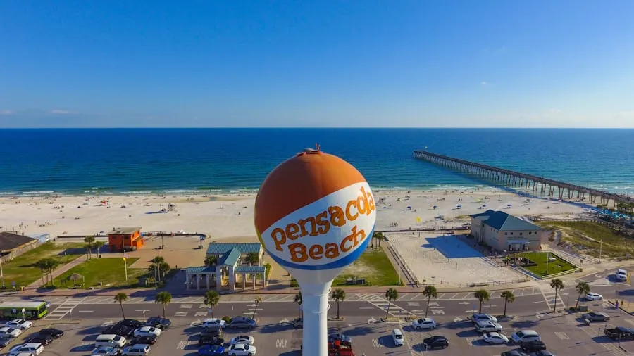
Pensacola, Florida
United States

Peoria, Illinois
United States

Philadelphia, Pennsylvania
United States

Phoenix, Arizona
United States

Plano, Texas
United States

Port Charlotte, Florida
United States

Portland, Maine
United States
Portland, Oregon
United States
Punta Gorda, Florida
United States

Raleigh, North Carolina
United States
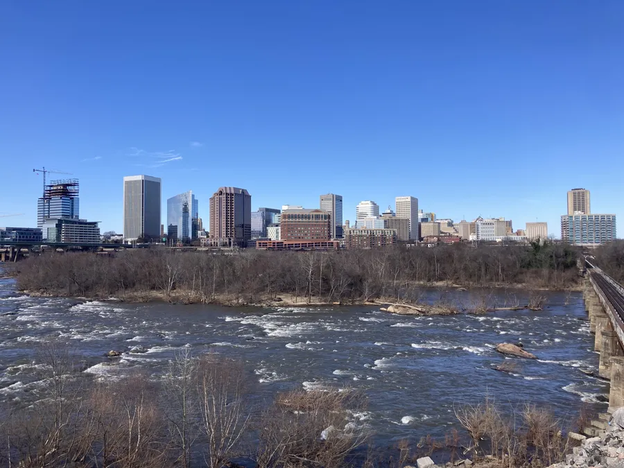
Richmond, Virginia
United States
Roanoke, Virginia
United States

Rochester, New York
United States

Rockford, Illinois
United States
Sacramento, California
United States

San Angelo, Texas
United States

San Antonio, Texas
United States

San Diego, California
United States
Sarasota, Florida
United States

Savannah, Georgia
United States
Seattle, Washington
United States

Sheboygan, Wisconsin
United States

Shreveport, Louisiana
United States

Slidell, Louisiana
United States
South Bend, Indiana
United States

South Florida, Florida
United States
Spartanburg, South Carolina
United States

Spokane, Washington
United States

Springfield, Illinois
United States

Springfield, Massachusetts
United States
Springfield, Missouri
United States

St. Augustine, Florida
United States

St. Louis, Missouri
United States

St. Paul, Minnesota
United States
St. Petersburg, Florida
United States
Stuart, Florida
United States

Syracuse, New York
United States

Tallahassee, Florida
United States
Tampa, Florida
United States
Tennessee, Tennessee
United States

Terre Haute, Indiana
United States
Texarkana, Texas
United States

Topeka, Kansas
United States

Tucson, Arizona
United States

Tulsa, Oklahoma
United States

Tuscaloosa, Alabama
United States

Tyler, Texas
United States
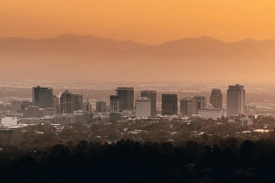
Utah, Utah
United States

Valdosta, Georgia
United States

Vero Beach, Florida
United States
Virginia, Virginia
United States

Virginia Beach, Virginia
United States
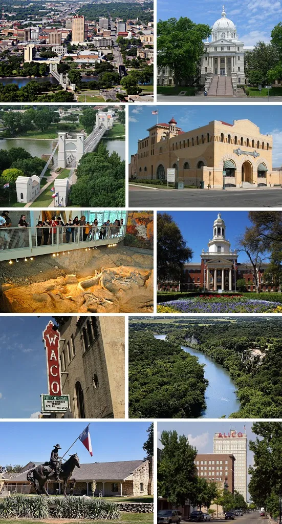
Waco, Texas
United States

Washington, Washington
United States

Washington DC, District of Columbia
United States
Wausau, Wisconsin
United States

West Palm Beach, Florida
United States

Wichita, Kansas
United States
Wichita Falls, Texas
United States

Wilmington, North Carolina
United States
Weather Across United States
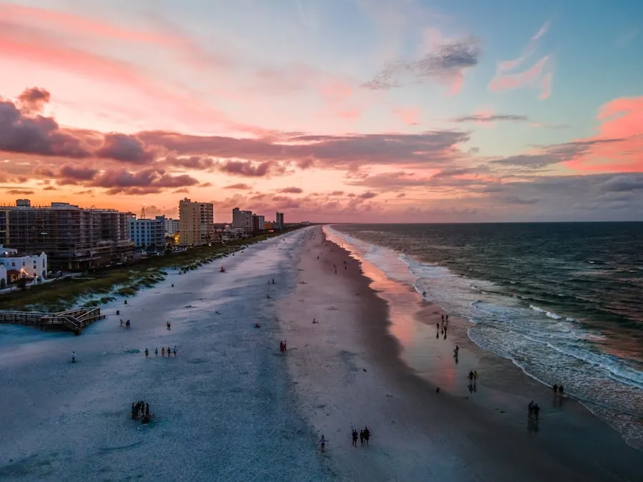
The United States spans nearly every climate zone on Earth — from the subtropical humidity of the Gulf Coast to the arid deserts of the Southwest, from the lake-effect snow belts of the Great Lakes to the wildfire-prone mountains of California. This geographic diversity means no single weather forecast covers the whole country, and city-level radar is the most practical way to track what is heading your way.
Hurricane season runs June 1 through November 30, threatening the Gulf and Atlantic coasts annually. The National Hurricane Center tracked 23 named storms in 2024 alone. Tornado Alley stretches from Texas through the Great Plains, producing an average of roughly 1,200 tornadoes per year according to NOAA records. The Northeast faces nor'easters and ice storms that can shut down entire metro areas for days. Out West, atmospheric rivers are capable of dumping months of rain in a single week — California received over 30 inches from a single atmospheric river event in February 2024.
Each city page below provides live doppler radar, hourly conditions, and a 7-day forecast specific to that location. Weather data comes from Open-Meteo (forecasts built on NOAA and ECMWF datasets) and RainViewer (radar imagery aggregated from weather stations worldwide), updated every 10 to 20 minutes. Pick your city to start tracking local weather.
What You'll Find on Each City Page
Live Doppler Radar by City
Each city page shows real-time precipitation and cloud cover radar from RainViewer, with a 120-minute playback animation. Toggle between views to see both rainfall intensity and cloud movement.
Hourly & 7-Day Forecasts
Plan your day or your week. Every city page includes hour-by-hour temperature, wind, and precipitation data plus a full 7-day outlook — all sourced from Open-Meteo.
Local Weather Risks & Safety
Each city page highlights the specific weather hazards for that area — hurricanes in Houston, lake-effect snow in Chicago, tornadoes in Dallas — so you know what to watch for on the radar.
Who Uses United States Weather Radar
Commuters & Drivers
Check radar before your commute. See where rain, snow, or ice is hitting and how fast it is moving toward your route across any US city.
Outdoor Enthusiasts
Runners, hikers, and cyclists — check the hourly forecast before heading out. The radar animation shows incoming storms 30-60 minutes ahead.
Event Planners & Families
Planning an outdoor event? The 7-day forecast helps pick the best day. On event day, radar shows exactly when rain will arrive at your location.
Outdoor Workers
Construction crews, delivery drivers, field teams — check radar before scheduling outdoor work. Spot approaching storms and call a break before they hit.