Your local weather radar shows live precipitation and cloud cover for your area. The map below updates automatically based on your location, so you can track rain, snow, and storms heading your way. Switch between the precipitation map and cloud cover view, or scroll down for hourly and 7-day forecasts.
Live Doppler Weather Radar
Track storms and precipitation in real-time with high-resolution radar maps
Daily Weather Forecasts
Recently Added Cities
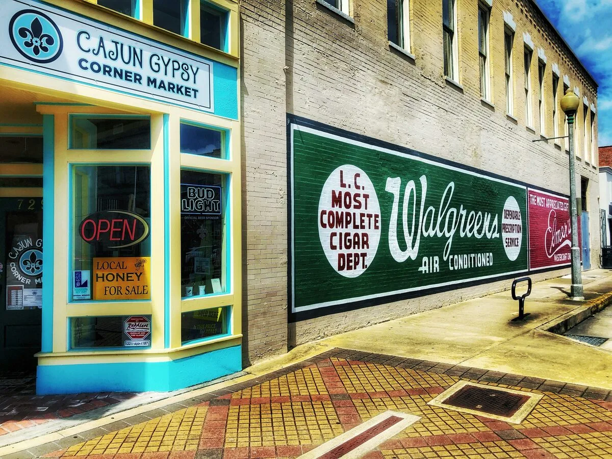
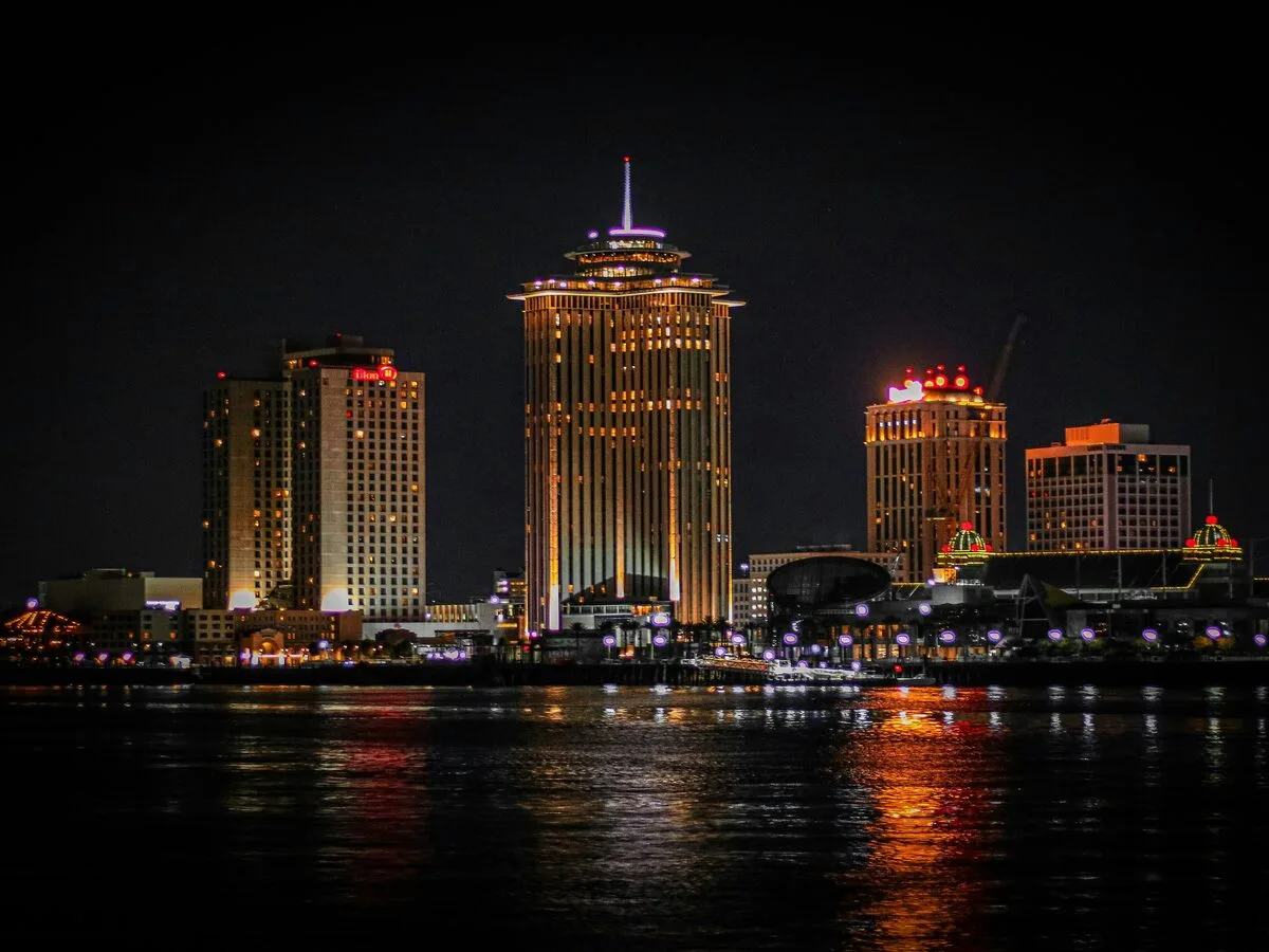
Latest city weather radar pages added to our coverage
Everything you need to track weather conditions and stay informed
Watch live precipitation, rain, and snow movement across your area with detailed radar imagery updated every 20 minutes.
Live Rain Radar Tracking
View satellite cloud cover maps and atmospheric conditions to understand weather patterns and storm development.
Cloud Cover & Satellite Data
Receive fresh radar data every 20 minutes, with severe weather alerts updating every 10 minutes during active storms.
Real-Time Updates
Plan ahead with detailed 7-day weather forecasts including temperature, precipitation chances, and wind conditions.
Multi-Day Forecasts
Why Choose Our Weather Radar Service
Reliable, fast, and accurate weather data when you need it most
Fresh Data Every 20 Minutes
Radar refreshes every 20 minutes, with 10-minute updates during severe weather. Always current, never stale.
Global City Coverage
Thousands of cities across North America, Europe, Asia, and beyond. Find weather data for your area anywhere in the world.
No App Required
Works in any browser, on any device. No downloads needed. Auto-detects your location for instant local weather radar access.
Who Uses Our Weather Radar
Trusted by people who need accurate weather information
Travelers & Commuters
Check radar before trips to avoid storms and plan routes around bad weather.
Outdoor Athletes
Monitor conditions for running, cycling, hiking, and other outdoor activities.
Business Operations
Make informed decisions about outdoor events, deliveries, and weather-sensitive work.
Outdoor Workers
Stay safe on job sites by tracking incoming storms and precipitation.
Weather Radar Questions
Common questions about doppler radar and how to use our service
Doppler radar is a weather detection system that sends radio waves into the atmosphere and measures how they bounce back from precipitation particles. It can detect rain, snow, and hail while also measuring wind speed and direction. The Doppler effect allows meteorologists to see if storms are moving toward or away from the radar station, providing detailed information about weather patterns and storm intensity.
Weather radar colors represent precipitation intensity. Green shows light rain or drizzle, yellow indicates moderate rainfall, orange means heavy rain, and red represents very heavy precipitation or possible hail. Purple and pink colors often indicate extremely heavy rainfall or severe weather conditions. The darker and warmer the color, the more intense the precipitation in that area.
Our weather radar data refreshes every 20 minutes under normal conditions. During severe weather events like thunderstorms, tornadoes, or heavy snow, the update frequency increases to every 10 minutes to provide more timely information when you need it most. This ensures you have current data for making weather-related decisions.
Our weather radar service covers thousands of cities across North America, Europe, and other major regions worldwide. Coverage includes the United States, Canada, United Kingdom, Germany, France, Australia, and many other countries. You can access local weather radar for both major metropolitan areas and smaller cities within our coverage zones.
Yes. Allow location access in your browser, or search for your city name, and the site will show detailed radar maps centered on your area. You can see surrounding regions within a 100-mile radius, zoom in for local detail, or zoom out to track larger weather systems approaching your location.
Weather radar sends radio waves from ground stations to detect precipitation nearby, giving you detailed rain and snow data within a few hundred miles. Satellite imagery is captured from space and shows cloud formations across entire continents. Radar is better for tracking storms in your area, while satellite views help you see big-picture weather patterns forming far away.
Weather radar shows current precipitation and its movement, which lets you estimate where rain will be in the next 30 to 120 minutes based on speed and direction. For anything beyond a couple of hours, you need forecast models. Our site combines both: the live radar for right now, and the 7-day forecast for planning ahead.
Yes, Doppler radar detects all types of precipitation, including snow, sleet, and freezing rain. Snow shows up differently on radar since ice crystals reflect radio waves in a distinct way compared to raindrops. During winter storms, the radar can help you see where the heaviest snowfall is happening, how fast the storm is moving, and when it should pass through your area.
No app is required. Local Weather Radar runs entirely in your web browser on phones, tablets, and desktop computers. Just visit the site and you will see radar data for your area right away. Your browser may ask for location permission so the radar can center on where you are, but you can also search for any city manually.
If you see intense red or purple areas moving toward your location, take shelter indoors and stay away from windows. Monitor the radar over the next 30 to 60 minutes to track the storm's path. For tornado warnings or flash flood alerts, follow instructions from your local National Weather Service office. Keep your phone charged and have an emergency plan ready for your household.
This happens for a few reasons. Sometimes rain evaporates before reaching the ground, which meteorologists call "virga." Radar can also pick up non-weather signals like flocks of birds, insects, or even dust particles in the air. Ground clutter from tall buildings or mountains near the radar station can cause false echoes too. These artifacts are usually easy to spot since they do not move like real storms.